



Spaceborne radar reveals the extent of flooding in East Coast
The recent spate of flooding in the East Coast states of the peninsula have forced tens of thousands of people from their homes into evacuation centres, especially in Kelantan and Terengganu.
On Monday, it was reported that 11,443 people have been displaced by floods in the two states. The figure rose to 15,126 people by Tuesday morning...
The recent spate of flooding in the East Coast states of the peninsula have forced tens of thousands of people from their homes into evacuation centres, especially in Kelantan and Terengganu.
On Monday, it was reported that 11,443 people have been displaced by floods in the two states. The figure rose to 15,126 people by Tuesday morning.
Two people lost their lives in the floods, while relief workers delivering food to marooned Orang Asli communities also found themselves stranded in floodwaters and needed to be rescued.
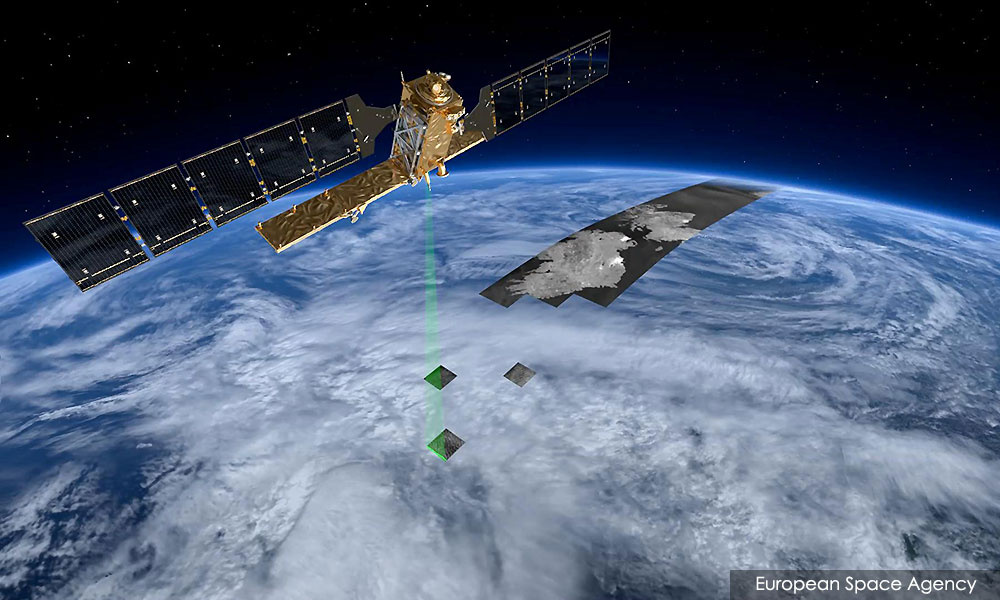
High above the tragedy, satellites equipped with radar peered through the thick cloud cover to take stock of the immense scale of the disaster.
Satellite images showed a landscape pockmarked with newly formed pools of water, large and small. Rivers are also visibly swollen. (To view, click on the left or right of the white separator line)
The images shown here were taken by the Sentinel-1 constellation of satellites operated by the European Space Agency. They were taken on Nov 20 and Dec 2, both at 7.26pm.
The data was further processed, with radar reflections consistent with bodies of water appearing in shades of blue, particularly rivers and pools of standing water that appear in navy blue.
The ground is depicted in greenish-yellow and shaded according to the contours of the terrain, while urban areas appear as specks of white.
Certain features on some ships or buildings can give an uncharacteristically strong radar reflection, which gives a ‘starburst’ appearance on some images.
In the vicinity of Kota Bharu, many large pools of water can be seen in places such as Pasir Mas, Pasir Puteh, Tumpat and Jelawat.
The same can be seen in the outskirts of Kuala Terengganu, especially in places such as Kampung Baloh, Kampung Pasir Puteh and in the paddy fields near Sungai Merang.
Many areas along Sungai Dungun in Terengganu and the nearby Sungai Paka also appeared to be inundated.
These include Felda Jerangau, Kampung Delong and Kampung Durian Mentangau.
An object off the coast of Dungun - probably a large ship - made an uncharacteristically strong radar reflection in the Nov 20 image. This caused a “starburst effect” to appear.
The Social Welfare Department has allocated RM1 million for flood relief in Kelantan, including expenses for blankets, mattresses, infant formula and emergency kits.
Deputy Prime Minister Dr Wan Azizah Wan Ismail said the government would consider implementing flood mitigation measures despite its high cost.
Bernama quoted her as saying that flood mitigation at Sungai Golok, which forms part of the Malaysia-Thailand border, would cost RM700 million.
The flood mitigation work in Besut, Terengganu, that she visited, would cost another RM400 million.




Are you sure you want to delete this comment?
This action cannot be undone.